Cycling and Walking in the beautiful Test Valley
Walks in Test Valley
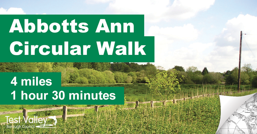
Start/Finish: Abbotts Ann Church Car Park, SP11 7BH
This 4 mile walk follows tracks and paths around the Abbotts Ann Estate, including an ancient drove probably used for taking sheep to Weyhill Fair.
Download a printable map and guide (pdf, 1.3mb)
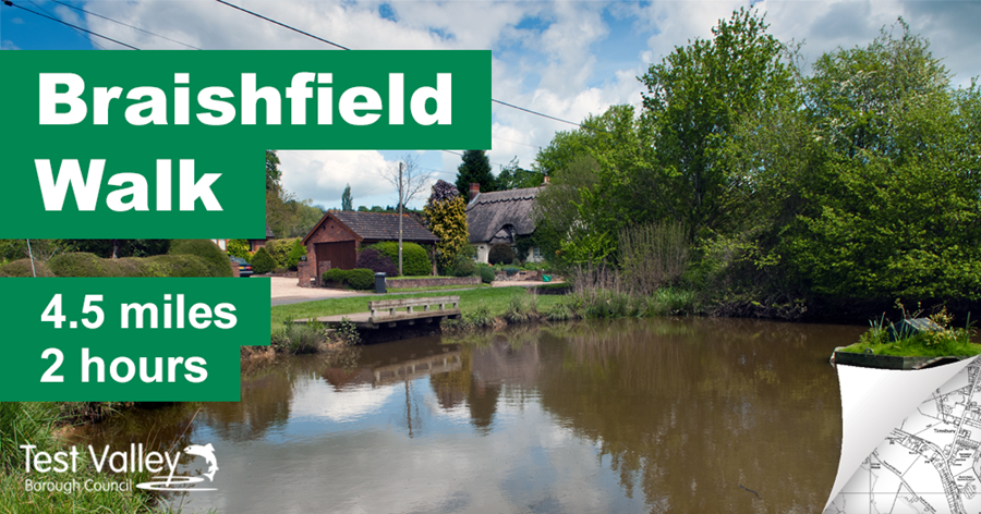
Start/Finish: Recreational ground, Braishfield, SO51 0PX
This is a 4.5 mile walk around the village of Braishfield, by Malcolm Price.
Download a printable map and guide (pdf, 1.9mb)
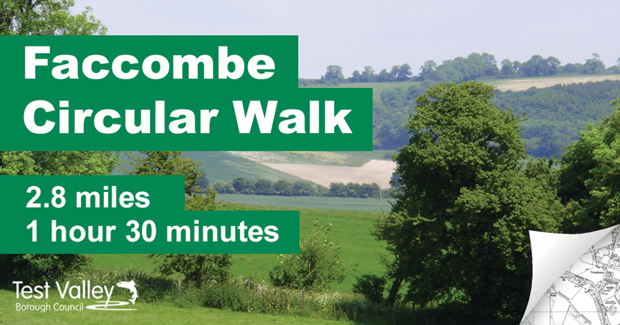
Start/Finish: The Jack Russell Inn, SP11 0DS
This 2.8 mile walk follows paths and tracks in the North Wessex Downs Area of Outstanding Natural Beauty. It encompasses woodlands, open views of the Downs and a pretty valley.
Download a printable map and guide (pdf, 1mb)
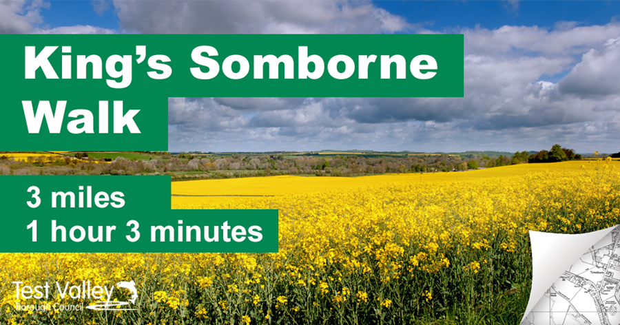
Start/Finish: King’s Somborne recreation ground, SO20 6PP
This is a very attractive walk from King’s Somborne playing fields, just off the A 3057. There are stunning views and a walk along the old railway line, now the Test Way, with a pub stop at ‘The John O’Gaunt’ at Horsebridge.
Download a printable map and guide (pdf, 2.4mb)
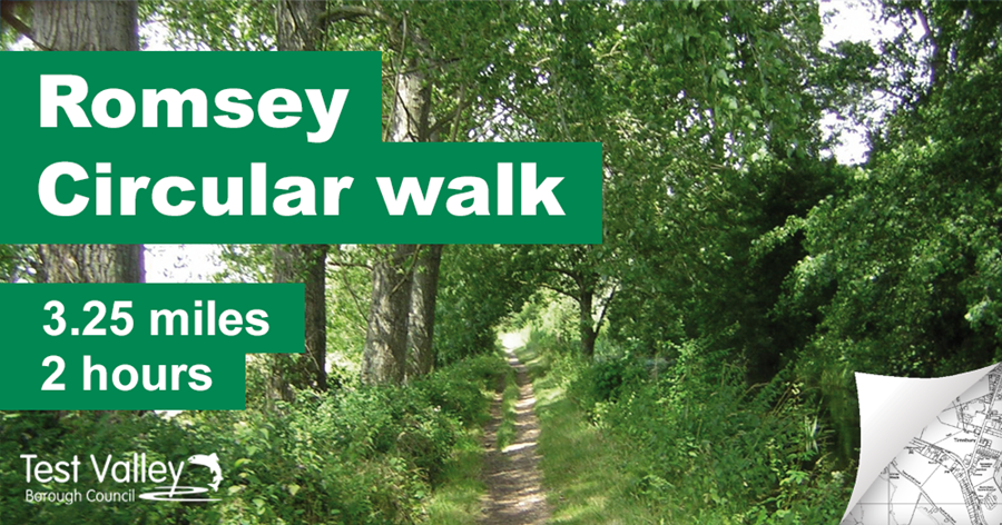
Start/Finish: Visitor Information Centre, Church Street, SO51 8BT
This 3.25 mile walk passes by the Redbridge and Andover canal, completed in 1794 and serving the Test Valley for 65 years. Walking by the Fishlake Stream and a tributary of the Test.
Download a printable map and guide (pdf, 1.8mb)
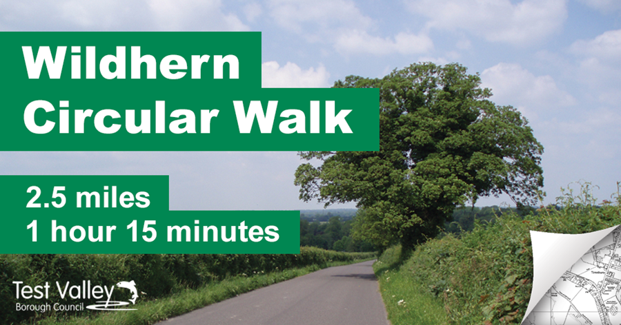
Start/Finish Tangley Wildhern Village Hall, SP11 0JE
This 2.5 mile walk follows field systems, woodland and passes derelict farm buildings.
Download a printable map and guide (pdf, 1.1mb)